

In this story, you can follow us on a day trip with a rental car to the north of the island. Among other things, we want to experience the large pitch-black lava field in the middle of the island that you can see on Google Maps.
We rented a car from the rental company down by the marina and on the first day we planned to visit some places in the western part of Lanzarote, including the large black lava field you see on Google Maps, Timanfaya National Park.
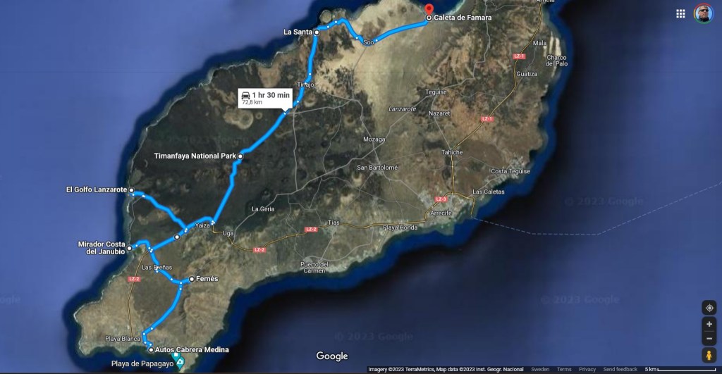
The map shows the route we took up to the today’s turning point, Famara.
Femes
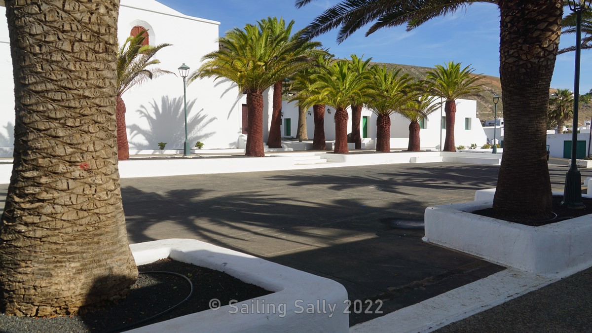
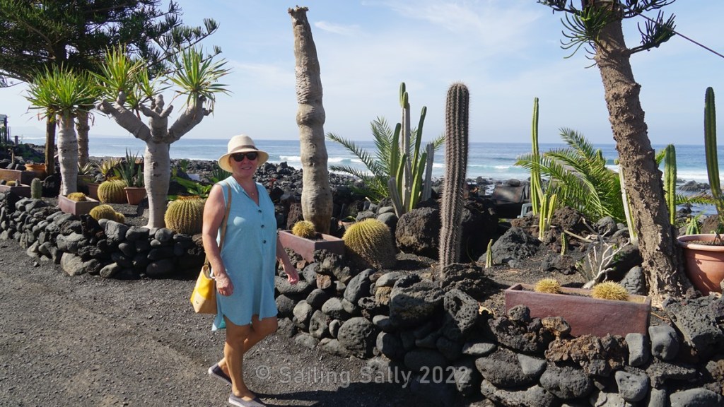
First we make a short stop in Femes, a nice little community just north of the Rubicon. Here you have a nice view of the southern part of Lanzarote.

Mirador Costa del Janubio
The next destination is the small community of El Golfo on the west coast and on the way there we stop at the Mirador Costa del Janubio on the west coast. There is also a facility where they manufacture salt by letting seawater evaporate in shallow basins. We don’t have any pictures from there, probably there wasn’t much to photograph.

Wondering what it is used for?
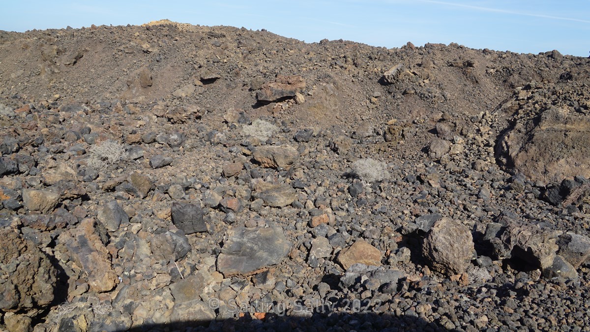
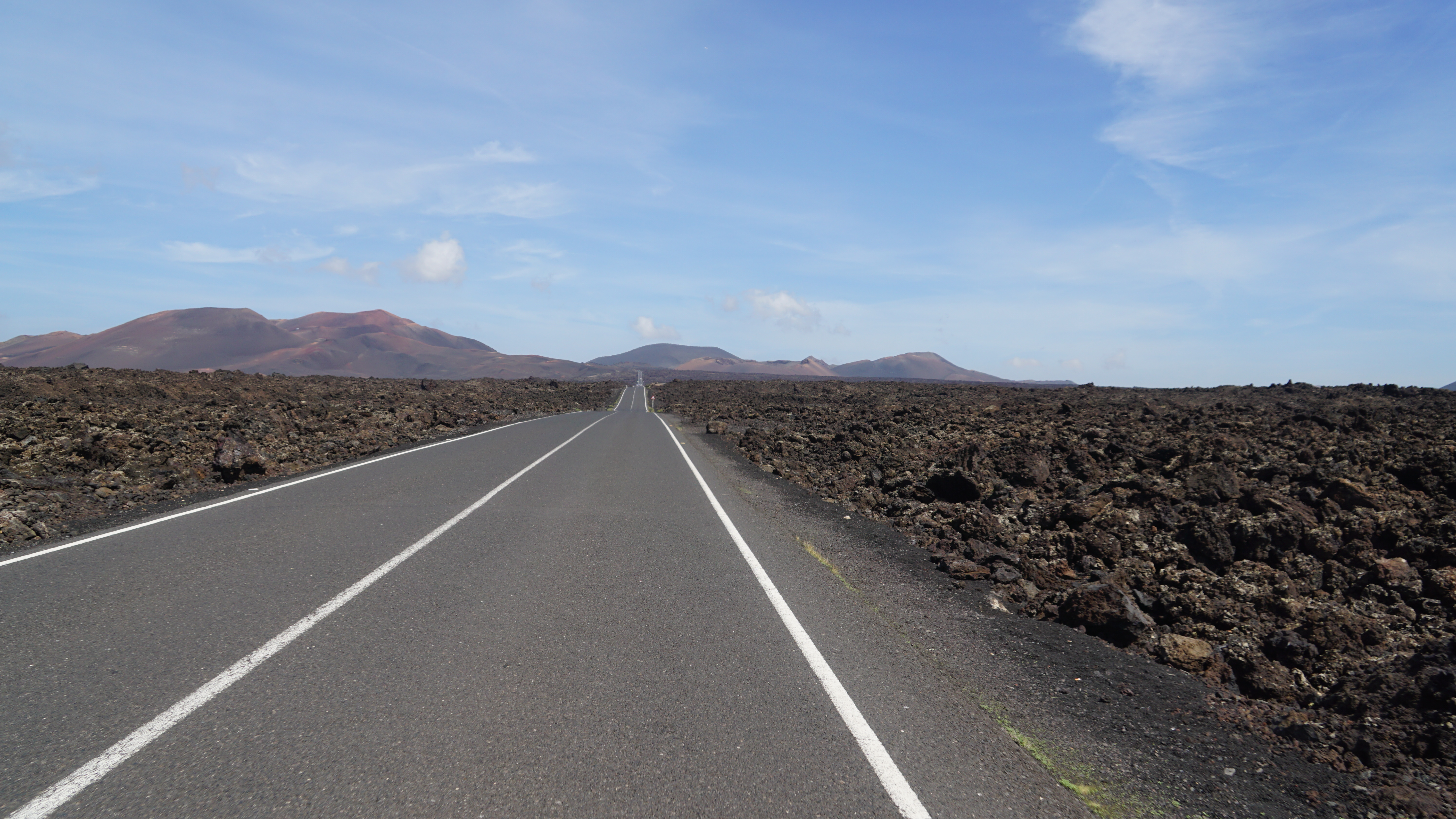
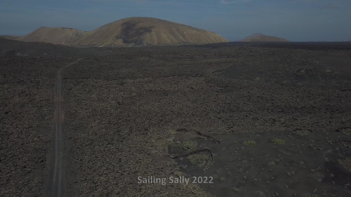
When we are about to continue from the lookout, it turns out that the coastal road up to El Golfo is closed and we have to turn around and take a road further inland that runs alongside and through the large lava field. In some places, it’s just jet black congealed lava chaos. This is exactly how I imagine it to look like in Mordor when reading Tolkien’s story. Here I flew a trip with the drone which gave us a nice view of the lava field and the road to El Golfo.
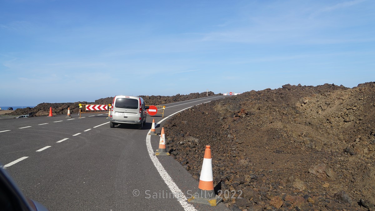
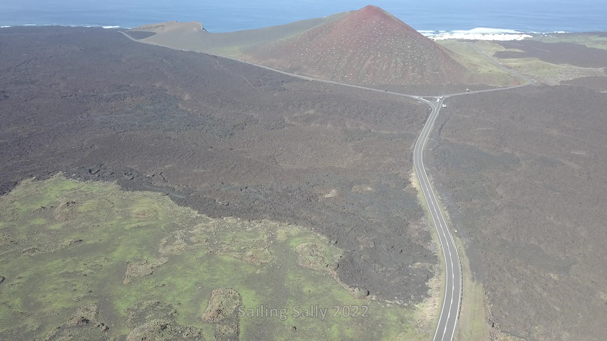
The closed road from the salt beds in the left part of the picture
El Golfo
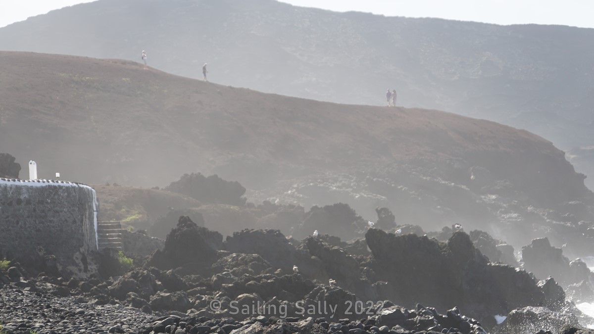
This small comunity appears to have been built after the volcanic eruption in 1730 that created the large lava field seen on Google maps. El Golfo is located right on the Atlantic and here the swell roars towards the coast all the time and dominates the soundscape completely. The long swells throw up great cascades of water and foam as they break against the rocky shore.
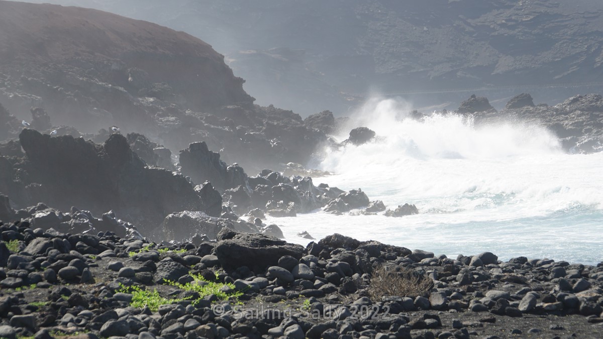
In the vicinity of El Golfo there are some beaches consisting of black sand and stone. Because of the big waves, no one swims here and we didn’t see any surfers either.

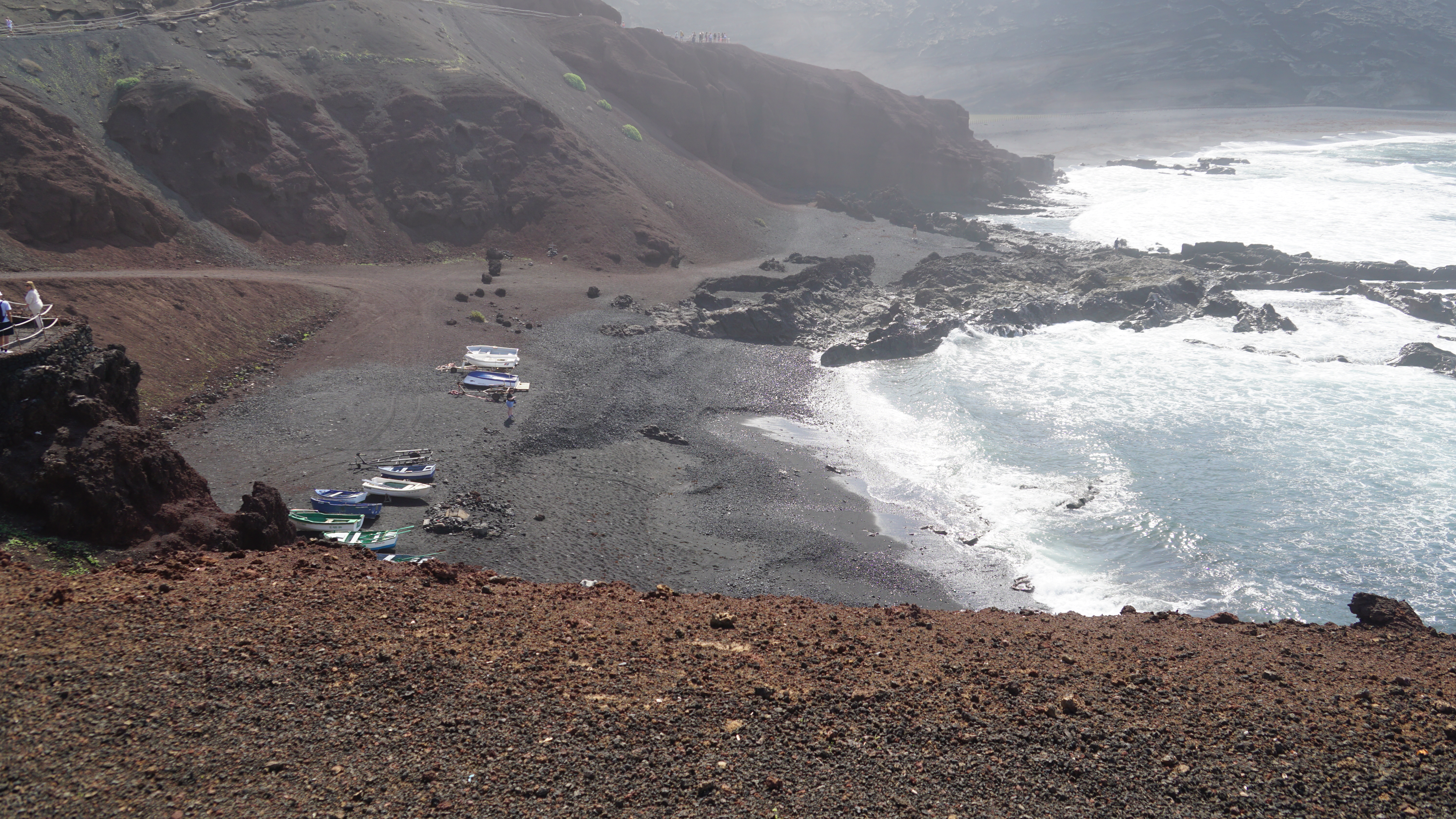
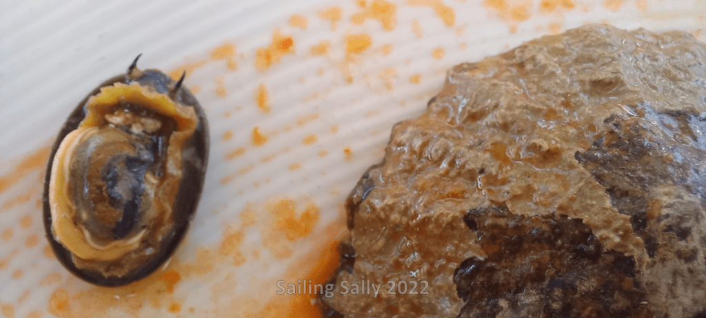
We took the opportunity to have lunch at one of the restaurants with tables by the beach. Since we were in an old fishing community, we chose some traditional tapas with ingredients from the sea, including ”Grilled Limpets”. They just weren’t a highlight for our taste buds or eyes. The other tapas plates were good, so we were full and satisfied anyway.


Timanfaya national park
The eruptions that created Timanfaya lasted for six years and the volcano is still active! The temperature at a depth of 10 meters is still 100 to 600 degrees Celsius. Timanfaya National Park covers large parts of the lava field and it is only a small part around the volcano itself that is open to visitors.
I also started up the drone and only had time to lift about 10 meters when it drove past a park ranger. He stopped and informed me that you are not allowed to fly drones in the park. So I only got a short video before it was time to land.

Caleta de Caballo
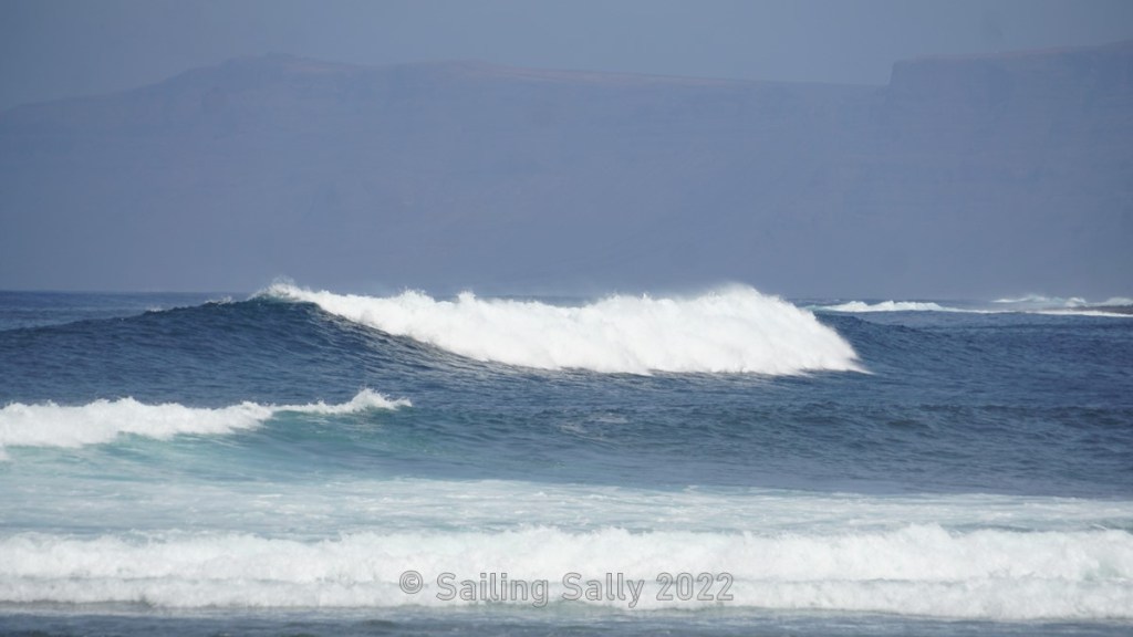
This is a small community on a small bay in northwest Lanzarote. When we are here, the Atlantic swell builds up big breaking waves as the water gets shallower and shallower at the mouth of the bay. We don’t see any surfers, maybe they haven’t discovered the nice waves that form here. There is no tourism here as far as we could see, so we have to go on to the next place, Caleta de Famara, to look for a lunch restaurant.


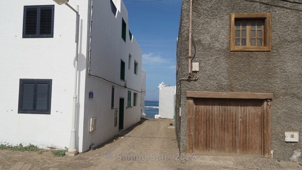
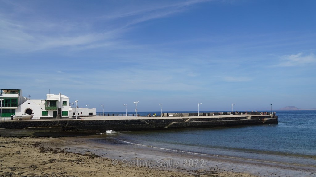
Caleta de Famara
This is also a small community on a bay in northwest Lanzarote. There are two rows of houses along the water. They have a wide street of packed sand that is dizzying when we drive there with the car. One side of the street is in blazing sun, while the other provides shade for parked cars. Here and there there are small alleys between the houses and they lead down to the beach which consists of sand. There is a small pier that protects a beach where you can swim or pull up small boats.
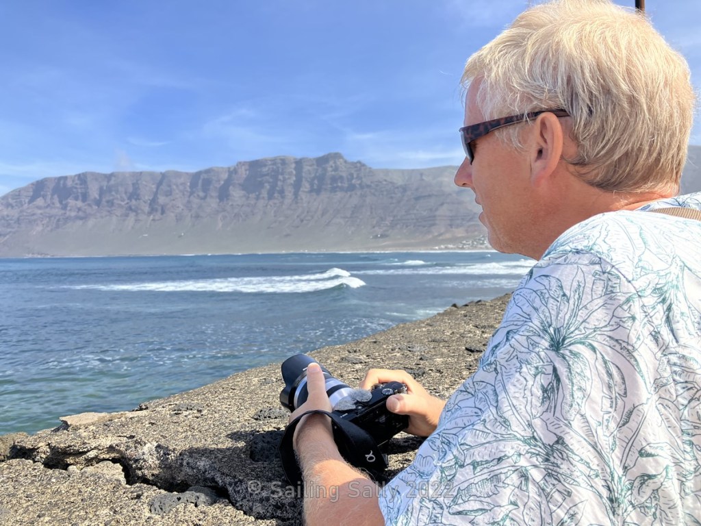
In this bay, large breaking waves are also formed by the swells that roll in about every 12 seconds. Unlike Caballo, it is a popular resort for surfers. We saw many out in the waves and surf shops on the main street. Down by the pier is an open restaurant that has a free table left when we get there. This is where we have our lunch today.


The restaurant is on the left side of the beach (by the parasol)
Now it is late afternoon and time to go south. First we will visit Puerto del Carmen and then finish with a sunset at Papagayo Beach outside Rubicon.

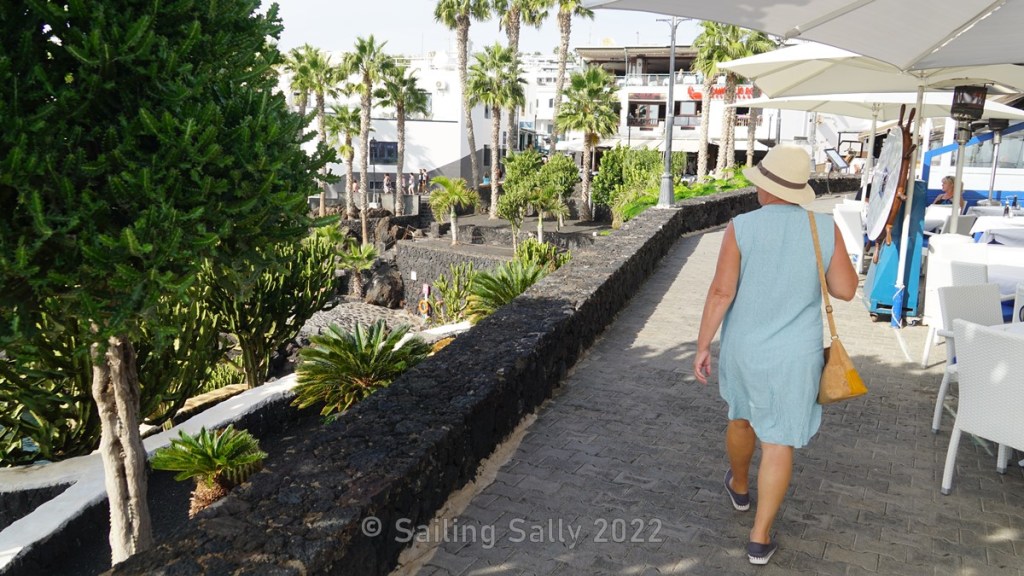
Puerto del Carmen
Puerto del Carmen is a classic tourist destination here on Lanzarote and it takes us about 1 hour to drive there. Since we want to catch a sunset at Papagayo Beach, we content ourselves with a short walk along the promenade by the old port. It is a nice and slightly hilly beach promenade with a lot of restaurants and bars.

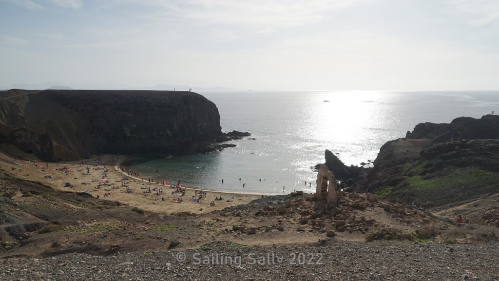
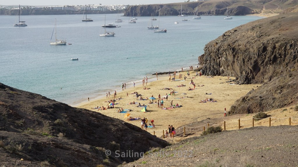
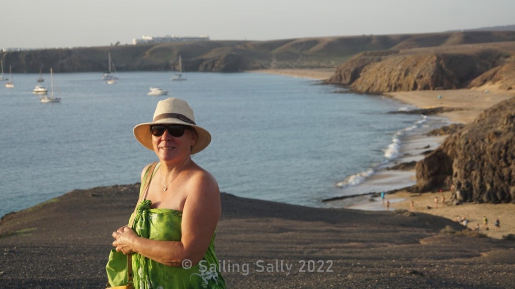
Papagayo Beach
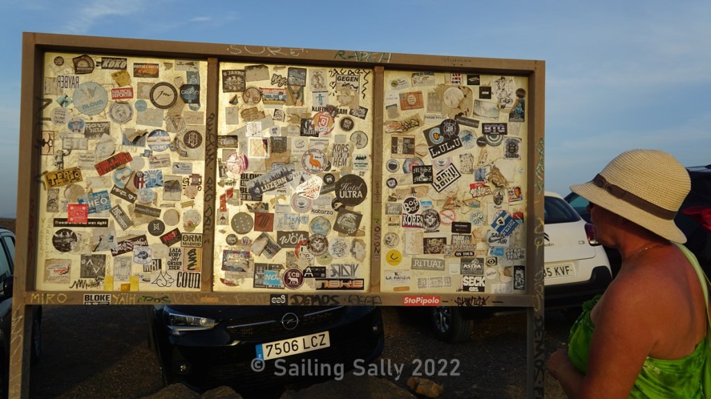
We arrive at Papagayo Beach an hour before sunset. The road out here is anything but good and it is surprising how many cars there are in the parking lot above the beach. The bulletin board at the parking lot was full of stickers. Seems to be visitors who mark that they have been here with a sticker, much like us sailors paint our boat name on the pier in some ports.

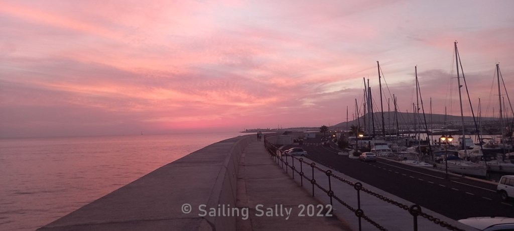
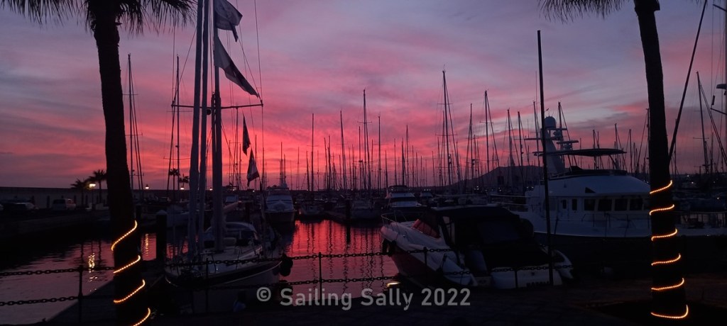
Rubicon Marina
The day ends with an evening at the marina where the evening light becomes magical with tones in yellow-pink-blue.
Up next
There is more to experience in Lanzarote and we continue to explore Lanzarote with the help of the car we rented, including a visit to the fantastic Cueva de Los Verdes in the northern part of the island.

Du måste vara inloggad för att kunna skicka en kommentar.